


Lasciati ispirare
Storia, arte, folklore Livornese tutto da scoprire e vivere tra le esperienze, i luoghi, le ricette, i racconti e i personaggi di cui è ricca la città.


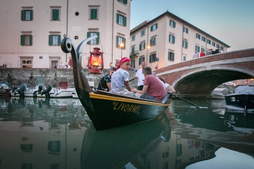
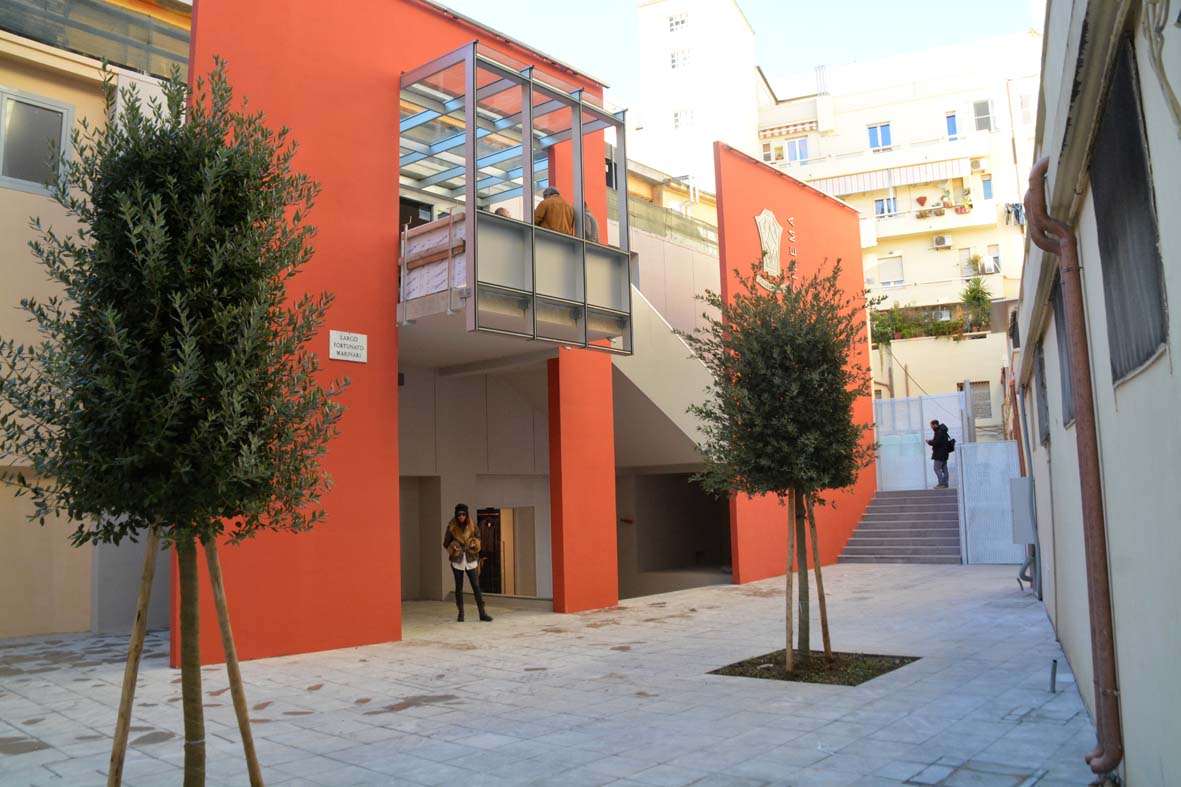
Livorno città unica
Scopri la cultura e i tesori della città più amabile, atipica e autentica della Toscana


Livorno blue & green
Wellbeing e relax, tra mare e natura. Una delle più belle scogliere italiane coronate di verdi colline


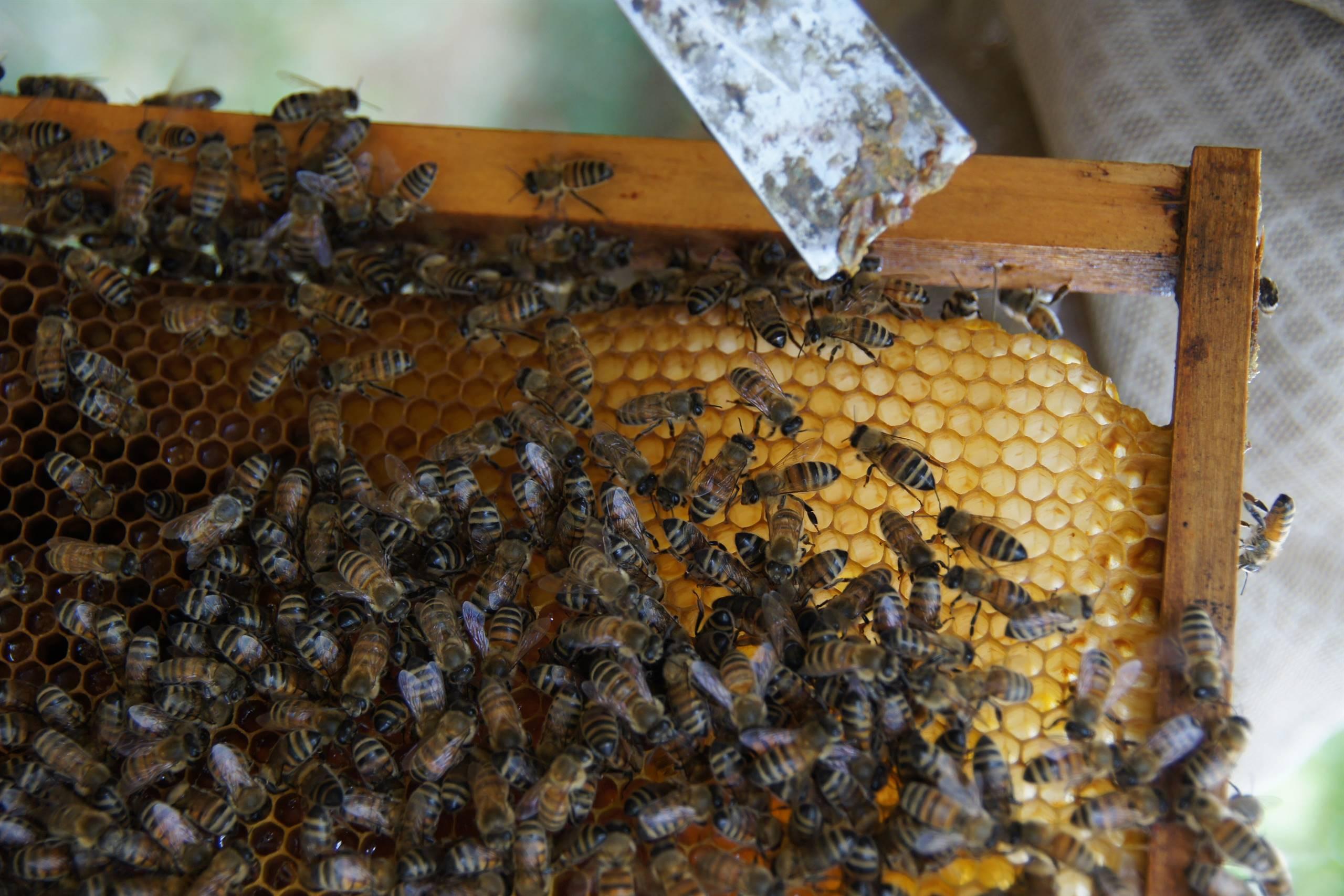
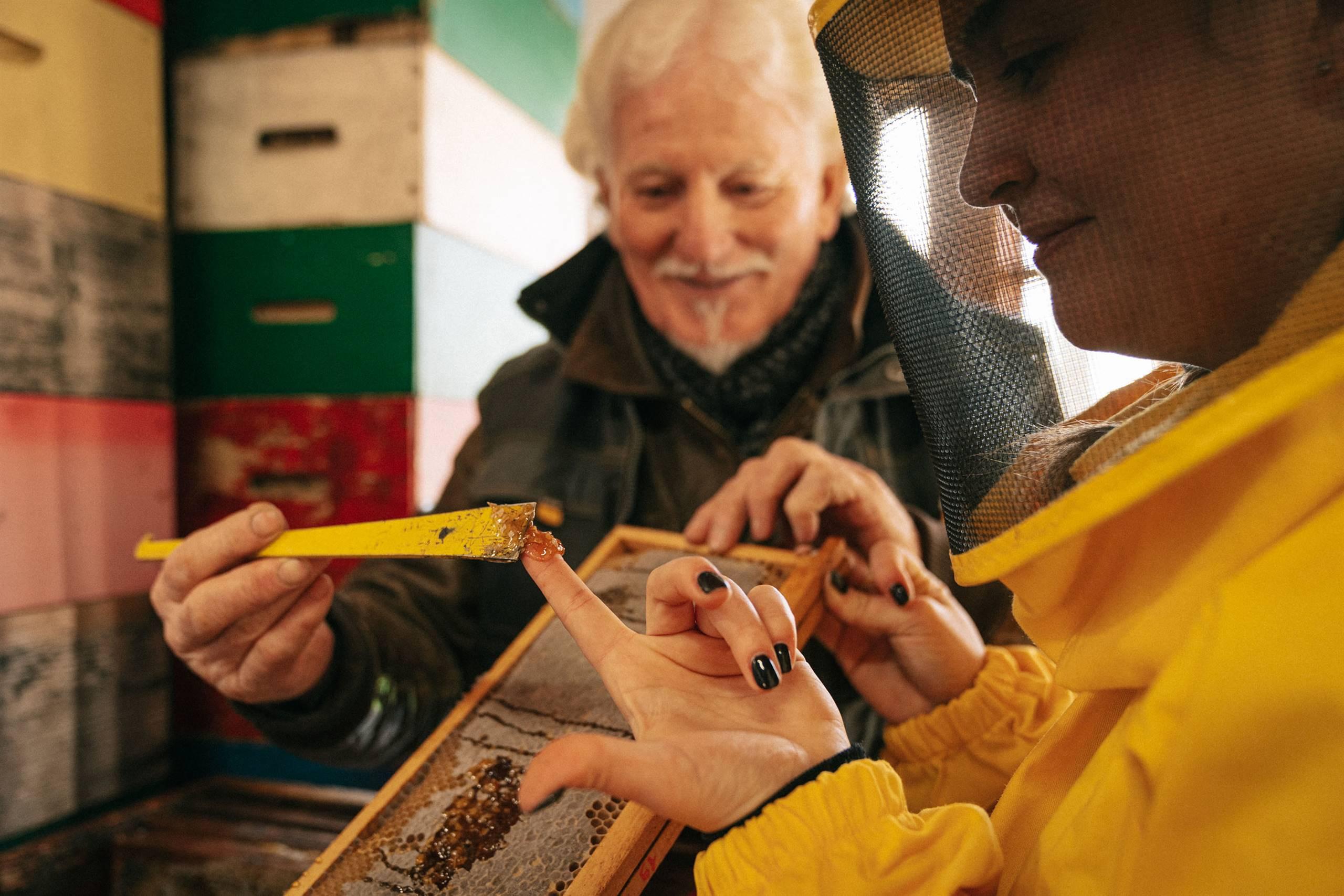
Esperienze
Scopri tutte le esperienze offerte dagli operatori turistici locali e arricchisci il tuo soggiorno a Livorno


I grandi eventi livornesi
Se pianificate una visita a Livorno, tenete d’occhio il calendario degli eventi: dallo sport alla musica contemporanea, dal teatro alla musica classica, potreste avere la fortuna di assistere a uno dei tanti appuntamenti offerti durante l’anno.
Scopri di più


La Toscana che non ti aspetti
Scopri tutte le particolarità che rendono Livorno così unica e sorprendente.
Scopri di più
Iscriviti alla newsletter
per rimanere sempre aggiornato
Non perderti nessuna novità sugli eventi a Livorno e dintorni.